Saturday, August 17, 2013

Newfoundland13 - Avalon Peninsula1


With the fog beginning to roll in, I am standing at the eastern-most point at Cape Spear Lighthouse.  Of course we came here to do a geocache, so off we went down a path and literally under the lighthouse.  In the distance, we heard a whale blow three times.  Strategically located, it also was a gun emplacement during WW II for the US.

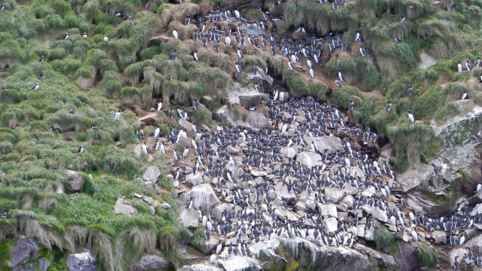
Yep, it's there somewhere in those rocks! Awesome!

We stopped for lunch at Riverside Restaurant and had a nice conversation with a couple who had driven some schoolchildren down to a fishery nearby.  It just goes to show you that you ought to read carefully before you march off somewhere:  we turned off the highway onto a narrow gravel road and then hiked 0.6 kms across an isthmus to Ferryland Head Lighthouse.  We were joined by two nice ladies from Vancouver who were on their way to pick up a picnic lunch at the lighthouse.  Dang!  Gourmet sandwiches, spring water, fruit and a dessert in a basket, complete with plaid blanket to sit on whilst overlooking the rocky shoreline.  Dang!

Off we trudged to find our geocache, stepping over and around the rocky headland.  Find it we did, but we noticed on our way back up the hill that the picnickers had all but disappeared in the crisp wind.


Ferryland Head Lighthouse


 Sitting out in the harbour was  the iceberg that had floated in two weeks ago.  We had seen a report on the television and you can see a small boat near the 'berg which will give an idea as to its size. As we were walking back to the van, it started to roll.  Ferryland is also the site of the 1620's Colony of Avalon, founded by Lord Baltimore.  Rumor has it that his wife was not impressed and lit off for warmer climes in Maryland. An archaelogical dig is currently working on the site.

Traveling down the Avalon Peninsula starts to get a little sparse as far as settlements are concerned. Our only opportunity for a campsite was Chance Cove Provincial Park, described as having no campsites, but it's okay to stay in the parking lot.  Gettting to it was another deal: 6.0 km toward the coast over a very bumpy gravel road - washboard comes to mind. We thought we might be the only ones here... wrong.  Six travel trailers were permanently set up and a couple more arrived after we did.  Just over a rocky dune, the sound of large pebbles being swept and tumbled by the waves was as calming as a rocking chair.  Numerous trails ran through the pines and across a marsh; some with warnings to stay away from the edges: a fall would mean landing on the rocks below.

Chance?

6 km of gravel road - adventure...

The next day we stopped at the Interpretative Center for Cape Race and Mistaken Point. They weren't open yet so we drove down 20 kms on yet another gravel road to Cape Race Lighthouse and Marconi Station.  This station was the first to hear the Titanic distress signal.  It's an incredible site; the rock ledges uplifted out of the depths of the ocean with rock that began in either Europe or Africa a gazillion million years ago when continents were floating around.  We found our geocache here and left a little something from Indiana.  Back at the Interpretative Center we learned that the guided tours were full for the day so we signed up for the next day.  This site is in the process of becoming a World Heritage Site and as a part of that, locals must be involved in the project.  So, manning the center are locals who seem so delighted that anyone comes to see the fossils at Mistaken Point.  They will tell you that they knew that they were there, but never knew how significant they were.  And the experience is one I will never forget.  Besides that, they told us to just park across the street for the night.


Newfoundland12 - St John's


Our next port of call was St John's and the Pippy Park Campground, a very convenient park within the city. We looked at the sky and decided to do Witless Bay and Signal Hill while the sky was clear.  Had we arrived via the long ferry earlier in the month we would have experienced three weeks of fog with a Low spinning offshore.  We signed up with Gatherall's Tour because Molly Baun (smaller and closer) was not in business yet for the season.


As we motored out to Gull Island to see the puffins, we were entertained for 30 minutes or so by two humpback whales (mom and baby). The captain just moves along at about 4 knots and follows them around until they decide they have better things to do than amuse tourists.  

I thought I had seen puffins back at Bonavista and Elliston Point, but, low and behold, a slow ride around Gull Island put us in view of 1000's of puffins and murres.  Puffins use small burrows for their young; murres just put their eggs on the rocks.  When their backs are turned to you, they are hiding their eggs. Flying around were also Black Guillemot and a couple of fulmars (difficult to see among all the other kittiwakes and gulls of all kinds).  Shearwater were not to be seen since they stay at sea unless foggy.  We did see scientists on the island conducting research.
Black-footed Kittiwakes

Atlantic Puffins
Murres and a few Razorbills

Enroute to Witless Bay, we saw this model harbour just off the road and could not resist taking a picture:


After spending time at the Signal Hill Visitor's Center, we hiked up to Cabot Tower and I logged the Earthcache there.  No wonder this is a good harbour: narrow entrance, excellent lookouts on both sides of the cut and a large, protected harbour.  When we started in Western Newfoundland, the history was of Eskimos, Vikings and European fishermen.  St John's is decidedly Irish.  Lunch at the Celtic Hearth and I had Shepherd's Pie.


The next day after a couple of geocaches in the park, we visited the museum "The Rooms".  The building, glass overlooking the harbour, is as impressive as the exhibits.  This "legacy center" emphasizes those who came before, their hardships and how it affects who they are today.  Notable for me at least are the etchings depicting life in Wesleyville outpost.  Outposts were temporary camps set up by visiting fishermen in the season.  Later, having brought wives and children, they became small villages.  There are still some outposts in existence; but due to concern for their remoteness and the difficulty of adequate social services, most have been relocated to cities.  They are, however, an intergal part of their province history.  We drove out to Quidi Vidi, the closest outpost to St John's.

Quidi Vidi

I had to do one more geocache before leaving St John's, so we searched for one on the way back up the hill to our van.  We searched and searched.  GPS was spinning in circles.  However, on a hunch, I stuck my finger up the end of a steel handrail and there it was.  A little magnet was holding it in place.

View from Signal Hill


Friday, January 25, 2013

Newfoundland11

At this point, we had a decision to make: continue farther along the TransCan or detour up the Avalon Peninsula between Trinity Bay and Conception Bay. With names such as Dildo Cove and Heart's Desire, we could not resist the temptation to travel yet another north-reaching finger of land. (Don't believe I just wrote that.)

After searching endlessly for a breakfast place, we drove on the TransCan until we found a truck stop with a restaurant. Picking up our route again on Hwy 80, we stopped at Heart's Content to view the cable station, site of a major relay station point for transatlantic telegraph messages and the place where the first transatlantic cable landed in 1866.


We don't always join a tour group at museums, prefering to move along at our own pace. This museum tour proved to be quite informative, not so much about the cable industry, but the lives of the people of Heart's Content during the height of the cable business. Originating in the British Isles, the business brought employees from England to operate the machines (the building still houses original equipment). A community of ex-pats developed apart from the local community: churches, schools, clubs, etc.  It cost $5.00 to send a child to their school and the local fisherman could not afford to pay the tuition.  Almost all the operators were imported with the exception of one notable Newfoundlander and his name is remembered by locals to this day, but I can't remember it.  Also noted is the fact that during times of war, women were used as operators and proved to be faster and more accurate than men.


At Heart's Desire Lighthouse we searched for yet another geocache, but came up empty-handed.
Because John Cabot told the world about the abundant codfish in the area, an influx of fishermen from Europe began to fish the area seasonally and then began to settle permanently.  At the tip of the peninsula sits Grates Cove where evidence of its Irish past still remains - rock fencing on hillsides.

Driving back down Hwy 70, along the pirate coast, we traveled through several small communities and settled for the night at Brigus' Crow Rock Camp, a brand new campground whose dust had yet to settle.


At Harbour Grace, we followed our noses to get a better view of an iceberg just offshore. Parking the van along the road, we hiked across a stretch of tuckamore.  Back in Harbour Grace, an airplane and an Amelia Earheart statue commenorate her transatlantic flight which began here in 1932.  Aground in the harbor is the SS Kyle, a former cargo/passenger vessel which worked up and down the coast.  Grass now carpets the decks.....

At Cupid, we stopped to tour the Legacy Centre and met the manager leaving for home on a bright Sunday morning.  He was most interested in telling us about his childhood growing up in Cupid. Precious little commercial fishing operates out of Cupid today, but most residents are descendents of those intrepid fishermen who came to carve out a living on this most fertile, yet unforgiving coastline. The three fishermen who still ply the trade fish with longlines for crab and shrimp.  The Legacy Centre was built not as a museum, but as a reminder of where they came from.  Most of his school friends have left for various parts of the world, but still consider this their home.

Not far from the centre is an archelogical dig, site of a colony during the 1600's.  So far over 100,000 artifacts have been found.  Pre-dating Jamestown in Virginia, the findings suggest a well-organized and successful colony.


Profile for Silverschucker