|
| Portugal Cove South rest area We moved our van across the road to a pleasant rest area in full view of Portugal Cove South, a small well-kept village. While waiting for the tour the next day, we drove on down to Trespassy for lunch and made our way out to yet another lighthouse along a single-lane dirt road which we shared with some local walkers. I haven't mentioned it, but everyone in Newfoundland is a walker. With footpaths criss-crossing rocky hills and disappearing into thick pine forests, there are plenty of places to walk. We even spotted them walking along major highways, miles from anywhere. Good idea. |
 | ||
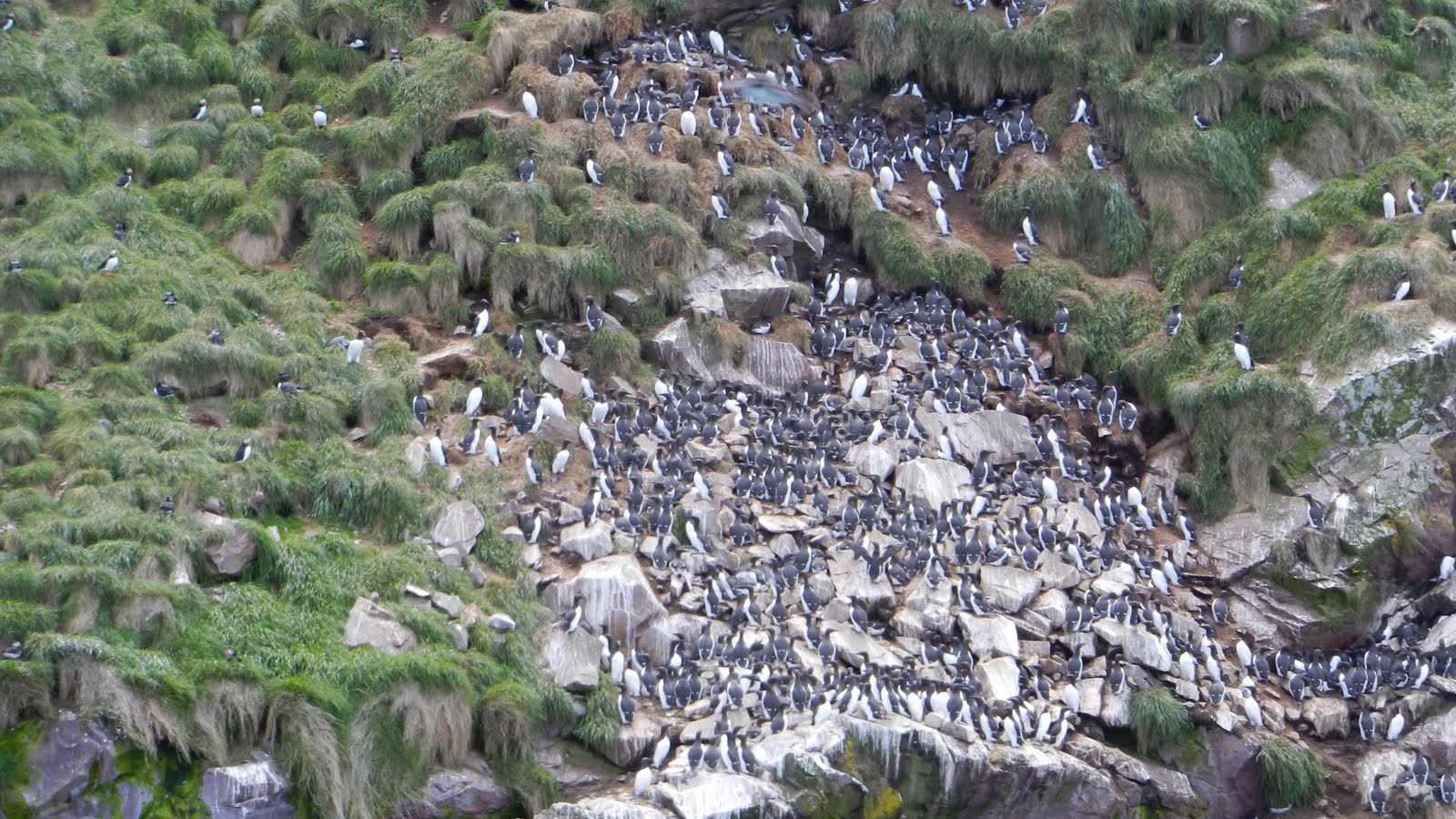
| The Rookery
A drive and hike out to The Rookery was an introduction to what we were to see at St Mary's Ecological Center later. These rocky cliffs host 1000's of kittiwakes, murres and gannets. We were not able to see the puffins up in their burrows, however. We would have been better with a spotting scope here because of the distance to the cliffs. The best opportunity was yet to come.
Meanwhile, after a dusty 15-km drive in the National Parks Service van, we hiked out 6.0 km across the barrens, tuckamore, a river and several hills along the old road/path between Long Beach and The Drook communities. These were among small remote villages set up during the fishing season where young men, eager to meet young women, had to first hike this route to the nearest village of any size, battle other young men for a dance with a pretty lady and then trudge back to fish for yet another day.
Just looking across the barrens, one might conclude that nothing exists here, but that would be misleading. The constant wind keeps the plant life very short. Trees look more like small bushes. Even irises here are in miniature. Yet on this barren grow berries that are so vital to migrating birds. The migrating Whimbrel feeds on the crowberry in August before that 4000-km trip to South America. Different berries attract different birds and so on.
  |

As our Parks guide explained, we had to take off our shoes and don booties because, while we were allowed to walk on the fossils, they were trying minimize our footprint, letting only the wind and sea take its toll. The fossil beds were created by volcanic eruption 450 million years ago and are the oldest multi-cellular fossils in existence as far as we know now. By establishing a reserve, not only are the fossils protected, but the barrens are included as well. After taking photos for an Earthcache, we began to walk back to the van, a much harder walk against a 30-35 kt breeze.


Plants along the path:
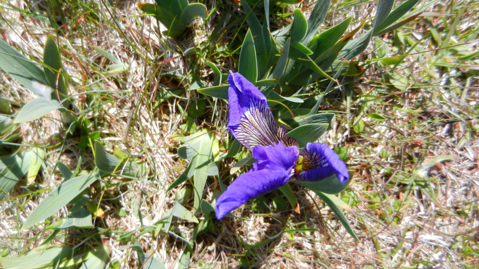


Iris, dewberry and crowberry (not yet ready) survive along the path and play their role in the ecology of our planet.

After a day like this, I understand the song of my childhood: "Oh Lord, My God, when I in awesome wonder, consider all the worlds Thy Hands have made....Then sings my soul..."