Monday, September 3, 2012

Newfoundland6

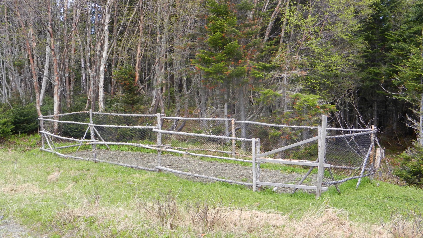
Knowing we had to backtrack in order to pick up the TransCan, we detoured off of Hwy 430 and took Hwy 432 to Plum Point instead.  It gave us a good view of the interior of the Northern Peninsula, thickly forested with Douglas Fir and White Pine.  Along the way, we spotted several garden plots.  Newfoundland is so rocky that residents search out a narrow space along the road with fertile soil and plant a garden.  We were there in June, a bit like April in Indiana, so gardens were being turned (by hand) and row hills were established for root crops.


Along with the garden plots, there were many log "yards".  Some contained piles of split logs while others were neatly stacked in rows.  We assumed that snowmobiles pulling wooden sleds were used to haul the timber back near the road for cutting.


The long stretch of highway apparently didn't hold Missy Moo's interest, so a little vocabulary lesson might be in order:

Tuckamore - most of the hikes we have taken in search of geocaches have taken us across an area called tuckamore, an area of low-lying bushes and trees,often twisted and stunted by the constant winds.  Tuckamore contains many plants that produce edible berries important to thousands of migratory birds and a staple in every larder such as bakeapple, partridgeberry, wild blueberry, squashberry and crowberry.

Tickle - A tickle is a narrow salt-water strait as an entrance to a harbor, considered treacherous because of its narrrowness and/or the tides.


It was almost a two-day trip back down the Northern Peninsula and then taking the TransCan until we came to Hwy 340 which would take us to Twillingate. Even though we were determined to explore every peninsula, we did bypass Baie Verte Peninsula.  We could, however, add two moose and one coyote to our animal count.

Just before arriving in Twillingate, we spotted a large iceberg in a cove to our right. We turned around and took a road in that direction in hopes of seeing it close by, but the road ended in a cluster of homes and the rocky hills blocked our view.  After crossing a bridge, we turned right again and did find ourselves across from the iceberg, but still not as close as we wanted.  Driving through  Twillingate, we took note of several tour companies offering whale watching and iceberg viewing. The next day we hoped to see that iceberg up close. The fun was just beginning.
Sunday, September 2, 2012

Newfoundland5

Before leaving the St Anthony area, we drove back to grab another geocache and to check out Fishing Point when the visibility was better.  At another time we might even take in the Viking Feast at Leifsburdir, but we decided to spend our time at L'Anse au Meadows National Historic Site.


The Viking settlement dates back to 1000 A.D., and was probably only occupied less than 10 years, likely due to their nomadic nature.  The husband and wife archaeologists who confirmed the authenticity of the site did so after finding one item: a small, bronze cloak pin.  Not more than 3 inches in length, it was found on the site and is exactly the style and material used by Norsemen. Visiting this site is humbling.  Spartan and isolated the land, the voyagers who traveled across oceans and land in search for adventure and new worlds deserve our homage:


Saturday, September 1, 2012

Newfoundland4

Leaving Labrador on the 8 am ferry gave us enough time to continue on journey north.  As the road parallels the Strait of Belle Isle, we enjoyed the added benefit of seeing more icebergs.


We couldn't pass up a morning walk around the winter headquarters of the village of Anchor Point, a few more miles up the road.  Nothing remains but a few ramshackle ruins, but a wonderful boardwalk encircles the area.  Villagers moved to this small, protected area during the winter, sheltering them from brisk, chilling winds.  Residents used this area until the 1960's.  One item caught my attention: there were numerous school teachers who came and then...left.  I suspect life was not easy and its remote location was a challenge for young single men or women.


I couldn't wait to see the Trombolites in Flower Cove.  We used The Marjorie Bridge and the Trombolites Walking Trail to view these bun-shaped rocks up close.  I thought they resembled the tops of mushrooms. They're actually fossils of unicellular creatures.  The Marjorie Bridge was the only access to the surrounding communities in the early 1900's.  Rocks, rocks and more rocks; but peeping out of a crevasse was a tiny flower with immense courage.

 After lunch at a local spot and a visit to the bank, we decided to move on to St Anthony where we could get our oil changed.  We had driven 5000 miles at this point!!  Waiting on our van, we had a pleasant talk with a couple who had grown up in the area.  The man told us of how he helped with the Viking archaeological dig back in the '70's and his wife had actually grown up in Anchor Point, even living at the winter quarters.  And, wouldn't you know it, we were cautioned to watch out for moose.  Mike spoke to one of the customer service employees at the dealership who said that he had driven to the airport last night and had seen some 30 moose along the road.  Bears and moose, bears and moose...

Before we left St Anthony, we drove on to Fishing Point in search of a geocache.  By this time, the temperatures were hovering in the low 40's, the wind was strong and a foggy mist clouded our view. Mike was so accommodating; he led the way across the scrub-covered rock to uncover that geocache.  I was so proud of his enthusiasm until I realized he was freezing and just wanted to get it done.


We spent the night at Triple Falls RV Campground 10 miles back and toward our next destination, the L'Anse au Meadows National Historic Site.