After leaving Twillingate and crossing the causeway, we noticed that the iceberg had shifted to the opposite side of the cove overnight. Instead of returning directly to the TransCan, we took the longer coastal route through Musgrave Harbour. All along the route we were able to view several large icebergs in the distance as we enjoyed the long, sandy beaches and fishing villages resembling Nova Scotia's Peggy's Cove.
Terre Nova National Park is
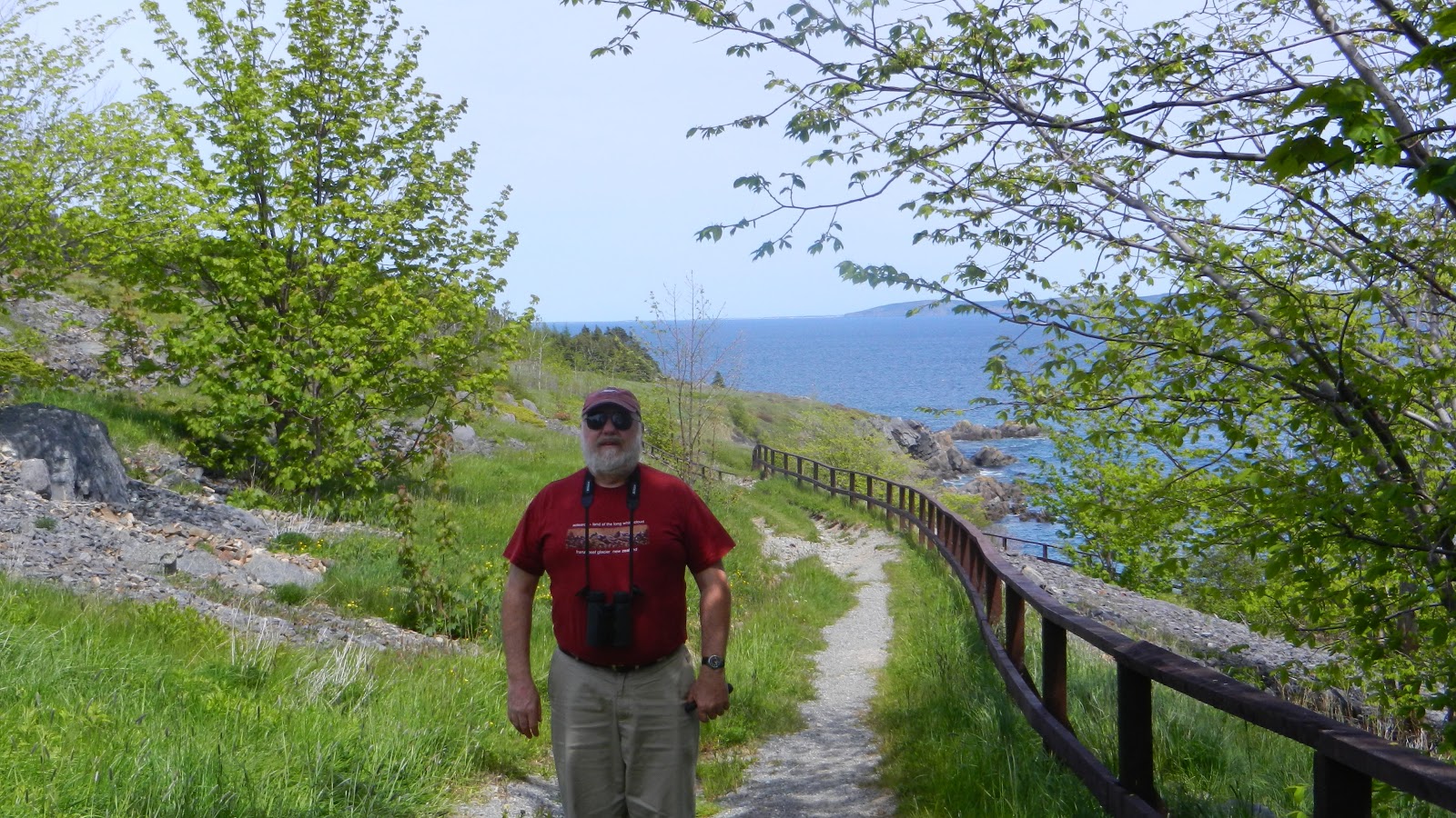
bear country so we were given notice that no BBQ fires were allowed, but we got site #1 and not a soul was around until later on in the evening. This park like so many others in the Maritimes is crisscrossed with many hiking trails through forest or along the water's edge, so before leaving the park we took advantage of a beautiful, clear day and hiked the Coastal Trail around Sandy Pond.. Even though it was early in the season, we were able to find two or three clusters of Pitcher Plants.
As other plants grow taller and leaf out, these might be hard to pick out of the bog. As we walked around the pond, we found moose tracks, but did not see any lurking around. We also came across narrow paths used to portage canoes from one body of water to another. I enjoyed the colorful flowers along our path.
On our way to Bonavista, we still weren't ready to spend time on the TransCan, so we detoured onto Route 233 to check out Tickle Cove. Who could resist a place called Tickle Cove? The guidebooks note that Tickle Cove is the site of an interesting sea arch and I knew there was a geocache in the vicinity as well. Small, weatherworn and handpainted, signs led us to a narrow lane where we parked the Roadtrek and followed a footpath to the sea arch.
We were not expecting to see the awesome red slate that make up the sea arch. The arches, worn by the relentless pounding of the surf, defy gravity. What I mean is the slate making up the arch is vertical like a stack of paper that has fallen over.